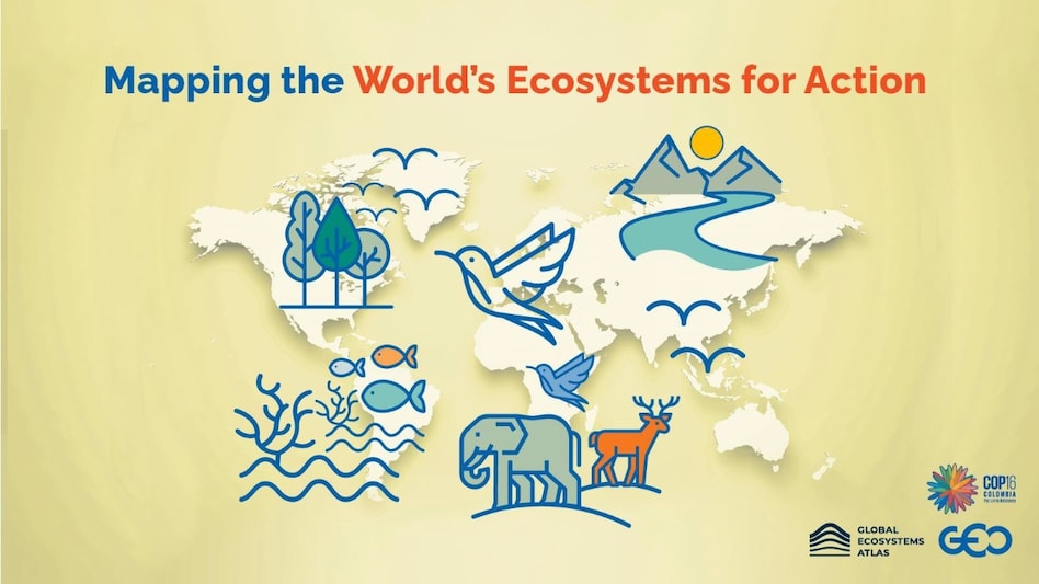
COP-16 unveils world’s first global ecosystem atlas; how will it help businesses and conservation
By providing high-quality, reliable, and standardised ecosystem data, the atlas will help pinpoint critical areas for environmental conservation and restoration. This makes it an invaluable resource for policymakers, private companies, financial institutions, and local communities.

- Oct 27, 2024,
- Updated Oct 27, 2024 10:13 AM IST
A new conservation initiative, the Global Ecosystems Atlas, has been launched to provide a comprehensive and unified resource for mapping and monitoring ecosystems worldwide.
Introduced this week at the 2024 United Nations Biodiversity Conference (COP16) in Cali, Colombia, by the Group on Earth Observations (GEO), the atlas aims to facilitate the protection, restoration, and sustainable management of ecosystems — an essential task in tackling global environmental challenges.
Monitoring these ecosystems is crucial for implementing the Kunming-Montreal Global Biodiversity Framework, an international agreement designed to halt and reverse biodiversity loss by 2030.
Despite increasing threats to biodiversity, many key questions about our ecosystems remain unanswered due to inconsistencies in existing data. So far, only about half of the world’s ecosystems have been mapped, and although global indicators exist for ecosystem monitoring, there is no standardised method for compiling data on a global scale.
“Ecosystems are our planet’s life support system, yet our understanding has been limited not only by data scarcity but also by the complex landscape of stakeholders, many of whom believed that reaching consensus on a common tool was unattainable,” says Yana Gevorgyan, Director of the GEO Secretariat.
How the Global Ecosystem Atlas will work
The Global Ecosystem Atlas is an open-source repository that integrates high-quality existing ecosystem maps with new ones created using advanced Earth observation technology, artificial intelligence, field data, and local expertise.
This atlas compiles various “spatial data products” designed to represent ecosystems, sourced from reputable national, regional, and global databases.
To ensure the dataset’s credibility, it has undergone a rigorous evaluation process, including validation and alignment with the IUCN Global Ecosystem Typology, an internationally recognized framework for classifying ecosystems.
By providing high-quality, reliable, and standardised ecosystem data, the atlas will help pinpoint critical areas for environmental conservation and restoration. This makes it an invaluable resource for policymakers, private companies, financial institutions, and local communities.
Access to trustworthy data will empower policymakers to make informed decisions and develop effective policies for restoration and environmental management. Local communities can also leverage this data to manage their land and natural resources by integrating traditional knowledge with scientific insights.
For businesses, the atlas will aid in incorporating environmental risks into their strategies. Additionally, international financial institutions and development banks, which increasingly prioritise sustainable development, can use the data to ensure funded projects align with their sustainability objectives.
With the help of this new atlas, nations can align their national data and enhance the effectiveness of their conservation efforts. It will also facilitate the identification of discrepancies in ecosystem mapping, especially in border regions.
On a global scale, the Global Ecosystem Atlas is pioneering. However, countries like South Africa and Mozambique have already embraced this data-driven approach to environmental conservation.
