'India's pollution mystery': Are Punjab, Haryana farmers outsmarting NASA's satellite detection?
Produced by: Mohsin Shaikh
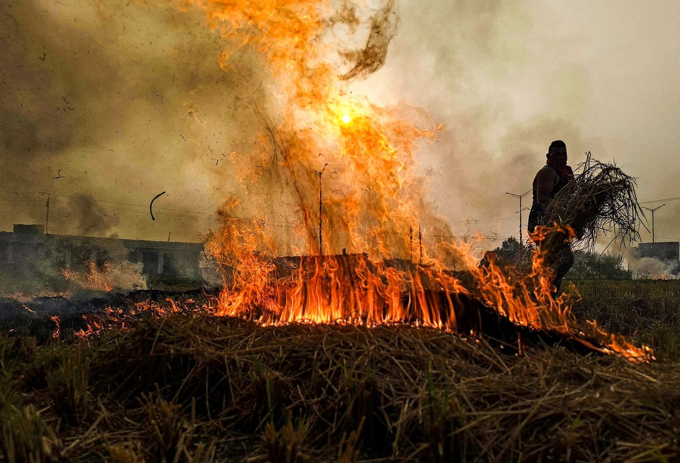
The Hidden Problem
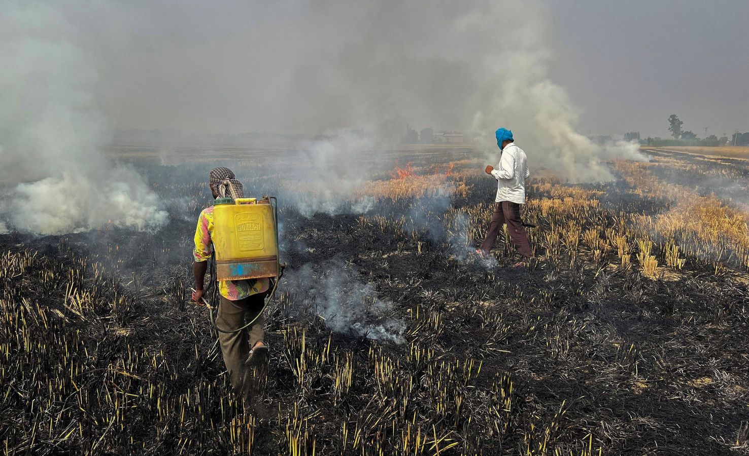
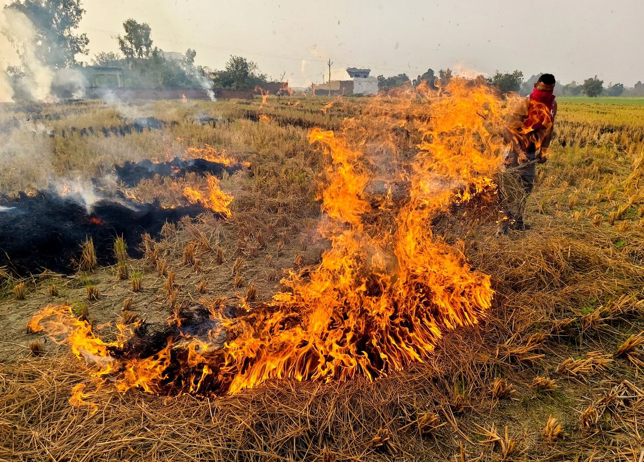
Experts suspect farmers are altering stubble burning schedules to avoid satellite detection. This could explain why fewer fires are reported, yet pollution levels remain troublingly high.
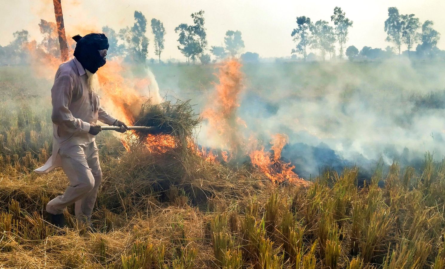
Timing the Burn
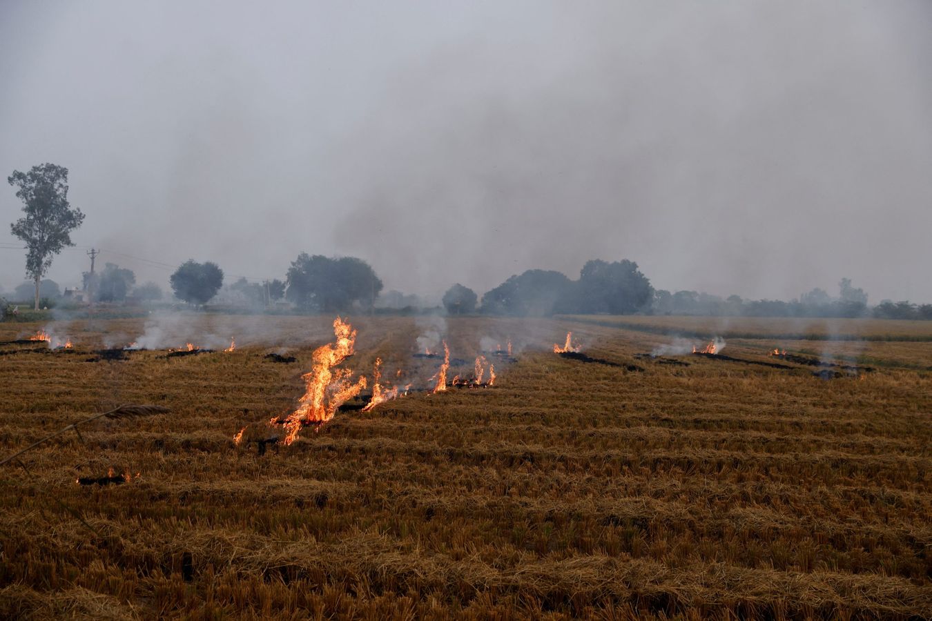
NASA scientist Hiren Jethva highlighted that farmers might intentionally ignite fires after the NASA-NOAA satellites’ overpass time, as observed in GEO-KOMPSAT-2A geostationary satellite data.
Credit: earthobservatory.nasa.gov
What Lies Beneath
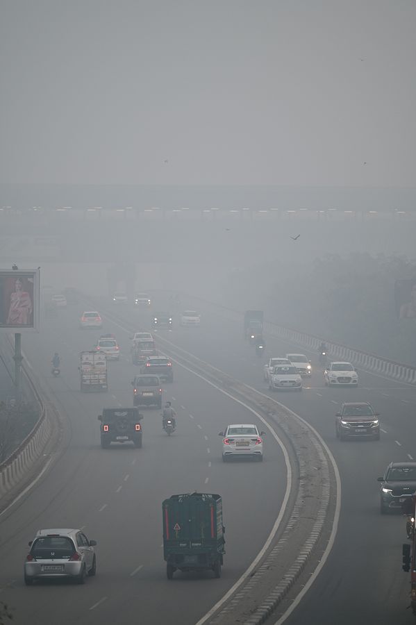
While government data reports a decline in farm fires, unchanged aerosol levels suggest fires might still be rampant. This raises questions about the accuracy of current detection methods.
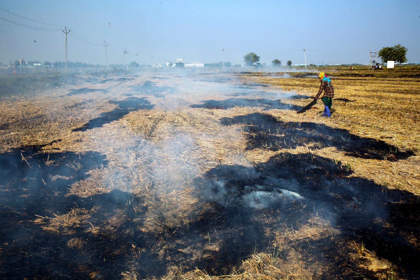
Dodging Detection?
Satellite imagery shows fire activity shifting to the late afternoon, avoiding peak detection times. This deliberate timing may be skewing official fire count data.
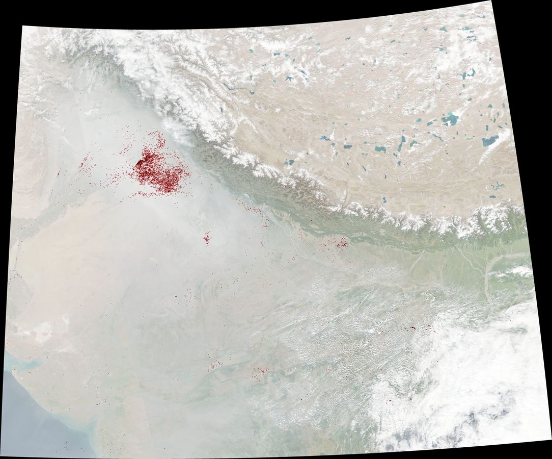
Ga1_qTGWUAAr1s8ITG-1732693794074
Ga1_qTGWUAAr1s8ITG-1732693794074
Data Under Scrutiny
Government data shows stubble fires dropped dramatically in Punjab and Haryana. However, experts like Chandra Bhushan argue aerosol levels tell a different story, highlighting persistent pollution.
Burning Elsewhere
While Punjab and Haryana report progress, states like Uttar Pradesh, Rajasthan, and Madhya Pradesh show rising farm fires. This reflects an evolving but unresolved environmental challenge.
Pollution Unchanged
Chandra Bhushan notes that Aerosol Optical Depth (AOD) has stayed consistent over six years. He suggests measuring total burnt areas instead of relying solely on reported fire counts.
Are Fires Hidden?
Experts suspect that the low fire counts do not align with pollution levels. They propose using continuous geostationary satellites for a more accurate understanding of burning activities.
Officials Defend
Local officials, including Punjab Pollution Control Board’s Chairman, dismiss claims of evasion, arguing that satellite data captures even night fires. The debate over accuracy persists.