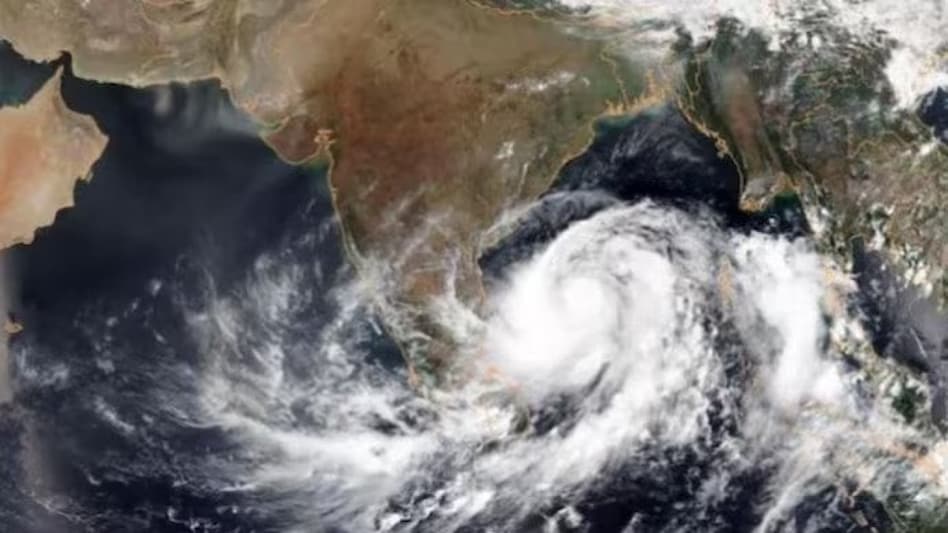
 The IMD has predicted that a cyclone named 'Hamoon' is likely to form over the Bay of Bengal in the next 12 hours.
 The IMD has predicted that a cyclone named 'Hamoon' is likely to form over the Bay of Bengal in the next 12 hours.
The India Meteorological Department (IMD) has predicted that a cyclone named 'Hamoon' is likely to form over the Bay of Bengal in the next 12 hours. The cyclone is expected to move towards the Bangladesh coast, crossing it on Wednesday, October 25. ‘Hamoon’ name is suggested by Iran.
"It is likely to intensify into a cyclonic storm over the next 12 hours. It is very likely to move north-northeastwards and cross the Bangladesh coast between Khepupara and Chittagong around October 25 evening as a deep depression," the IMD's morning bulletin said.
The IMD has advised fishermen not to venture into the sea along and off the North Andhra Pradesh coast, south Odisha and adjoining West Bengal coasts till Wednesday. The department has also advised people living in coastal areas to take necessary precautions.
There is currently no severe weather forecast for India's east coast, including heavy rains, strong winds, and other factors.
On Monday morning, the system was around 400 kilometres south of Paradip, Odisha, 550 kilometres south-southwest of Digha, West Bengal, and 690 kilometres south-southwest of Khepupara, Bangladesh.
IMD has indicated that light to moderate rainfall is likely to occur in several parts of Northeast India, including Nagaland, Manipur, Mizoram, Tripura, Assam, Meghalaya, and the coastal regions of West Bengal.
Meanwhile, the escalating situation of Cyclone 'Tej' in the Arabian Sea is witnessing some relief as the storm has weakened from an extremely severe cyclonic storm to a very severe cyclonic storm on Sunday, according to the weather department. The cyclone is expected to cross the Yemen-Oman coast between Al Ghaidah in Yemen, and Salalah in Oman in the early hours of October 24.
Cyclone Tej was 200 kilometres north-northwest of Socotra, Yemen, 300 kilometres south of Salalah, Oman, and 240 kilometres southeast of Al Ghaidah, Yemen, according to satellite measurements at 5.30 a.m.
Also Read: 'Such low-level politics': Shashi Tharoor on 'leaked' photos with Mahua Moitra